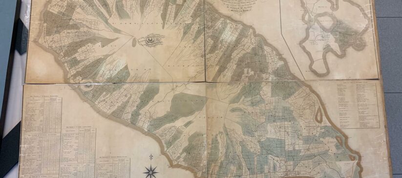
Original 1828 Map

This map produced by surveyor William McMahon and published in 1828 by Edward Stanford of Charing Cross, London, is the most detailed map of St. Kitts ever produced. It shows, the mountains and numerous rivers and ghauts that score its land scape. It also shows the towns and villages of the island, several roadways and especially, a slightly different island main road that facilitated the transportation of sugar from the estates to the ports for […]
Forts and Protection against Diseases

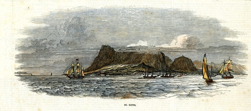
We are sharing today a print from 1848 that appeared in the Illustrated London News of that year. We went looking for it because Dr. Cameron Gill shared a piece with us about the drastic but necessary quarantine restrictions of the past. The unknowns in medicine and lack of personal hygiene made a lot of the measures that had to be taken far more stringent then what we are seeing today but the purpose was the […]
19th Century Photographs
The oldest photographs in our collection are portraits of Moses Dickenson and his wife Mary nee Mallalieu. They were taken some time in the 1880s. We would like to thank Hans Mallalieu for entrusting them to our care. We have some other images from that period but not the original photographs. Moses Dickenson was born on the 26 Oct 1860 to Richard Dickenson and his wife Leanna nee Menders. Mary Mallalieu was the daughter of […]
Recruitment of Agricultural Labourers for UBA

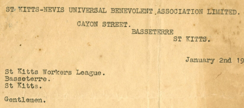
On the 2nd January 1935 Joseph Nathan wrote to the Workers League informing them that the Universal Benevolent Association (the UBA) better known as the Union was going to organize the Agricultural Labourers. In many ways this was a very sad letter. The UBA which had been formed in 1916, had attempted to organize labourers all over St. Kitts and Nevis. Its effort had met with some initial success especially among the waterfront workers whose wages had seen […]
Blueprints of the Ornamental Iron Work

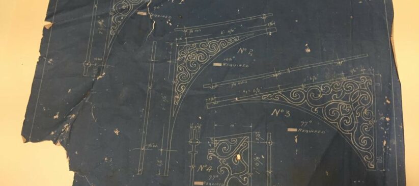
Three years ago, we received some blue prints that had been stored at Public Works Department. Later, just before the building that housed Development Bank and Physical Planning Unit (near GHQ) was demolished, we managed to rescue a large number of Architectural drawings and other material. Because of the size of these items we have not been able to do much with them. We did manage to put some in our flat files, some are […]